


.jpg)

Beach-driving is a shedload of fun and, lucky for us, there are a fair few beaches in Australia that you are legally allowed to drive. Problem is, if you live in Sydney you’re somewhat limited in your options for a decent weekend break that includes a stack of driving on the coastal sandy stuff.
Sure, you could opt for Kurnell, 36km from Sydney, towards Cronulla, but, though fun, it’s really just a short run up and down a stretch of beach with industrial jobsites as a backdrop; it’s more of a one-day fun day.
Blacksmiths Beach, about 133km north of Sydney, or Stockton Beach, 170km north of Sydney, are appealing options but if you’re a Sydneysider it pays to think a little bit further afield – about 270km to the north in fact – and you’ll arrive at a getaway destination like no other, Myall Lakes National Park.
Day one
Sydney to Myall Lakes National Park
We set off from Sydney before sunrise, looking to get the most out of our first day of a planned two-day stop at Myall Lakes NP, on NSW’s central coast and little more than a three-hour drive via M1 and Pacific Hwy/A1 from Sydney.
.jpg)
It’s a nice cruise up the highway, past Newcastle and capped off with a stop for brekky and fuel at Tea Gardens, our first and last stop before heading through the village of Hawks Nest, on the southern fringes of Myall Lakes NP, and then along Mungo Brush Road to Lemon Tree 4WD access to get straight onto the beach and have some fun.
Myall Lakes NP has one of NSW’s largest coastal lake systems and more than 40km of beaches; the Myall Lakes, the state’s largest natural fresh-brackish water system covering 10,000 hectares, are listed as a wetland of international importance.
As you’d imagine, there’s an abundance of wildlife in the region, the bushland is lush and green and it’s all very impressive, but we were there for the beach-driving… with perhaps a spot of fishing thrown in for good measure.
.jpg)
There are sealed roads, too, through and from Myall Lakes NP and the easily-accessible region offers a range of activities beyond beach-driving, including swimming, surfing, bush-walking, kayaking, fishing, and sand-dune boarding, among other things. (Note: remember to pay your parking and camping permits before you get settled in to your daily activities, that way you can go away and enjoy yourself without worrying about being ‘stung’ by a fine.)
There are three precincts in the park – Myall River and Bombah Broadwater; Boolambayte and Bombah Broadwater; and Sugarloaf Point to Shelley Beach precinct – and we focussed our leisure efforts on the Mungo Beach portion of the region, which comes under the umbrella of the first precinct mentioned above.
Parts of this beach have, at times, been closed to the public due to erosion but on this occasion, every section we drove was open. Suffice it to say, never drive on the headland or over into the dunes and avoid vegetated areas and back tracks.
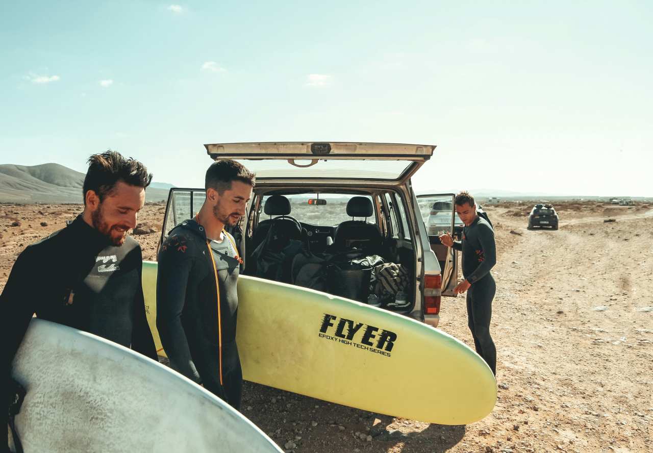
We stopped all three vehicles in the designated spot along the Lemon Tree 4WD access track en route to the beach to drop our tyre pressures; about 18 psi (pounds per square inch) was the consensus. Our three-vehicle convoy – a stock-standard Ford Everest Titanium, and an aftermarket-boosted VW Amarok and Toyota LandCruiser 105 Series – drove onto the beach without further ado.
.jpg)
The sand around the beach-access point was soft and chopped up, as it often is around a beach entrance, but the sand on the beach proper was firmer.
We turned left on the beach and headed towards Dark Point Aboriginal Place (aka Little Gibber). Dunes, some of them quite high and steep-sided, flanked our left side as we drove north along the beach.
We had checked the tide times before committing to a beach drive – as you should always do – and we still kept an eye on the sea, never drove too close to the water’s edge and watched for any wave surges.
Though the weather was threatening to turn on us – overcast skies, gusty wind, a hint of rain – it was a fantastic five km or so drive along the beach to the southern edge of the Dark Point rocky headland. This area, declared an Aboriginal site of significance in 2002, has been a gathering place for the Worimi people for more than 4000 years.
It’s where they met in clan groups “to feast on the abundant seafood”, according to National Parks and Wildlife Service. Traditional burial sites, as well as middens, have also been found in this area.
As we drove along the beach we met a walking group of locals, who were collecting rubbish as they hiked along the coast. After having a nice chat with them and checking out the info board at the Dark Point site, we took a load of beach debris off their hands.
If you’d prefer to walk to this spot, drive 25km out of Hawks Nest, along Mungo Brush Road, hang a right into the Dark Point carpark and amble from there. Dark Point walking track leads to this spot from Mungo Brush Road; it’s a two km return walk out onto the open headland and a view out to Broughton Island.
Either way – 4WDing along the beach, or strolling in from the Dark Point sandy carpark – it’s a great spot to spend time.
We turned south and headed back towards the Lemon Tree access track. The wind had picked up a bit on our way back to the turn-off, whipping sand up in mini-twisters along the narrow strip of beach. Pausing to throw a line in along the way, we still essentially had the area to ourselves.
Once back on Mungo Brush Road, we decided to go for a stroll along the Brambles Green fire trail, a two km amble through the bush, past a few bee hives on the way, towards Brambles Green campground, even though we weren’t camping there. You can also access this campground by boat via the lower Myall River.
After that slightly active diversion, we were back in the vehicles to stop off the road at various points along the way to take even more photos; it’s that sort of landscape. Then we headed to Mungo Beach access track for some more fun in the sand.
.jpg)
We drove about 100m up the beach, past the very soft and chopped-up access point and promptly became bogged (twice) – it’s the kind of thing one of our travel mob always does to get his photo on the website!
But it was no time to gloat because then the Everest Titanium, through no fault of its 4WD system, got bogged in some wet sand down near the water's edge. The tide was going out but we still had a few nervous moments when some surging waves threatened to lap at the Everest's wheels.
No matter – it gave us a great opportunity to practice our digging and vehicle rescues using MaxTrax vehicle-recovery tracks.
We should have taken note of the fact even locals weren’t driving much further than where the access track opened out onto the beach. We made an executive decision not to drive any further up the beach and instead headed for our night’s lodgings.
When visitors to Myall Lakes are deciding on accommodation, they can opt for rustic – i.e. camping – or stay in heritage-listed accommodation; we stopped at Dees Corner campground on the shore of the Bombah Broadwater, the southernmost of the Myall Lakes.
We set up our swags and settled in for a round of sunset drinks, looking out over the water, watching the myriad birdlife doing lazy late-afternoon laps, as the sun painted the landscape a dusty pink in the fading light. Ducks, none too scared of humans, waddled around our camp chairs, angling for any scrap of food that might be tossed their way but, on this night, they lucked out because nothing was forthcoming.
.jpg)
With the sky growing darker, we headed to the Tea Gardens Hotel, a great pub with a beer garden and open-air dining area, where we enjoyed a tasty pub meal as the evening’s trivia night provided a soothing background soundtrack. Then it was back to our swags for the night; not even a sprinkle of rain dampened our spirits.
Day two
Mungo Beach to Sydney
We woke up with the sunrise, threw down a quick coffee, courtesy of our snapper – 'Good brew, Batty!' – and headed for the beach as we were keen to catch the morning sun on the beach and get a couple of hours of beach-driving in before the tide turned on us.
We opted for the Lemon Tree access as we didn’t fancy any more mucking around, digging vehicles out of the powdery soft sand that end. As it was, we enjoyed a couple of hours of play in the sand with our 4WDs and we only ever saw another vehicle or two the entire time.
After that we merry bunch of recalcitrants bundled into one 4WD – the snapper's trusty LandCruiser 105 Series – and drove onto the beach further north via Mungo Beach access track then turned a tight left onto Mungo Beach which, at a shade under 17km long, is NSW’s third longest beach.
.jpg)
Sure, that Mungo Beach access point was where we had been bogged the day before, er, on purpose but this time we stuck to the very highest side of the drivable beach, along wheel ruts at the bottom edge of the dunes to our left.
We drove along that glorious stretch of coastline and, at that point in time, we shared it with no one else. Waves crashed to our right and steep dunes, blindingly bright in the morning sunshine, stood sentinel to our left.
We watched in awe as, high above us, a trio of white-bellied sea eagles wheeled, ducked and dived at each other as they tussled for a bush mouse or something one of them had caught moments before.
We followed the beach as it bends gently around to the north-east on its way to the far end and its natural conclusion at Big Gibber Headland.
We spent some time there near that rocky outcropping, taking photos, soaking up the atmosphere, as well as picking up a stack of rubbish blown there by the wind or washed ashore in the choppy waves. If you are tempted to go for a swim along this coastline, be aware that these are unpatrolled beaches and usually have deep troughs, strong rips and heavy shorebreaks. Exercise a fair bit of caution and use your common sense.
After our final beach run back to the turn-off and then using our air compressors to get our tyres back to on-road pressures, there was time enough for the photographer to fuel up on coffee and cake in Hawks Nest. We were all homeward bound, salty and satisfied with our Mungo Beach drive.
Note: Always travel in a group if possible. Always take vehicle-recovery equipment. Our track ratings apply to travel during dry weather only; track conditions will change in wet weather.
What's your favorite NSW beach getaway? Tell us about it in the comments below.
.jpg)


